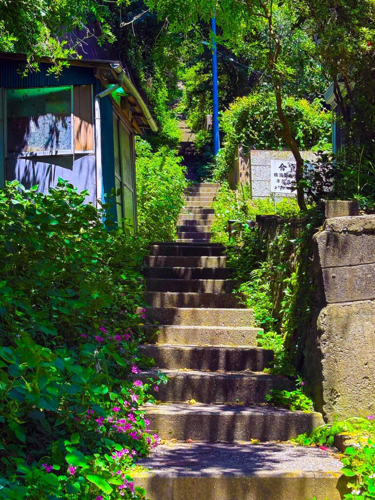
Tucked between the hills of Yokosuka are the yato — residential alcoves that were, until recently, only reachable through a single entrance, their interiors hidden from the street. Built as the Naval Arsenal expanded through the Taishō and early Shōwa periods, these valleys are filled with the density of workers’ lives: houses pressed deep into the hillside, neighbourhoods that faced inward by necessity. Yato are frequently cited as a symptomatic landscape of Japan’s depopulation — places where decline has gone furthest and become most visible at once. In some areas, nearly 20% of houses stand empty: doors sealed, gardens returned to bush, houses stranded at the end of paths that no longer lead anywhere.
But this framing misses something structurally significant. The terrain of yato has a longer history, one that belonged to prehistoric communities of Jōmon and Yayoi periods, medieval-era clans that gave birth to the peninsula’s name Miura, followed by diplomats, merchants, and itinerant travelers who used yato’s trade and political routes connecting the coast to Edo. The modern yato communities took shape alongside the Naval Arsenal that drew workers, soldiers, and merchants from across the country. These histories did not arrive continuously, but they do not disappear either — their traces are inscribed onto the soil, the topography, and the landscape itself. Nor does the framing do justice to the yato’s rich ecology that gives this region a markedly higher satoyama index — a biodiversity indicator calculated based on habitat diversity — than the Tokyo metropolitan area or even many of its suburbs.
The collection of bamen departs from the premise that the yato areas are not a problem to be diagnosed, but a set of connections to be discovered, analyzed, narrativized, and shared to promote yato’s satoyama mosaic. It is an exercise in socio-ecological historiography that traces a richer past than the one condensed into naval ports, warships in the harbour, and commemorative sites — without dismissing what those sites hold. What it adds is a different frame: one in which human histories and ecological histories are not separate tracks but mutually shaping forces, each leaving its signature on the other. To do that, this project puts the theory of bamen (場面) into cartographic practice — connecting fragments of history, memory, and story recorded in books, memoirs, and local archives with physical locations in yato, while attending to the satoyama-satoumi mosaic that quietly sustains, while being sustained by, the lives lived and flourished on this land.
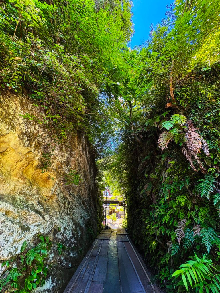
The labyrinthine valleys of yato, formed along the ridgelines of the Miura Peninsula’s hills and low mountains, were not always land. For most of its geological history, it lay under the sea — sediment settling for millions of years before the Philippine Sea Plate, subducting beneath the Sagami Trough, folded and thrust the seafloor upward into the hills that yato would later be built into. This particular fold of Japan’s Pacific coast, compressed and uplifted where three tectonic plates converge, preserves something unusual in its raised sediments: fossil chemosynthetic assemblages — the remains of communities that lived not on sunlight, but on chemical energy alone.
Chemosynthesis is the process by which bacteria and other organisms produce food from chemical energy rather than sunlight — the inverse of photosynthesis. It occurs mainly around deep-sea hydrothermal vents and cold seeps, but also along hydrological pathways in underground rock layers and even in the anaerobic mud of flooded rice paddies. A related metabolism, aerotrophy, has more recently been found in similarly sunlight-poor settings: these microbes harvest energy from atmospheric trace gases like hydrogen, carbon monoxide, and methane.
These forms of metabolism — chemolithotrophy and aerotrophy, which draw on the redox boundary between oxygen-rich and oxygen-poor zones — have drawn attention well beyond geology, geochemistry, and microbiology. Astrobiologists see it as a working model for how life might survive the extreme conditions of other worlds, from Mars to Jupiter’s icy moon Europa.
Our own cells harbor what was once free-living bacteria — the mitochondria, which run on the same principle of redox mediation. Breaking down glucose, fat, and protein yields electron-carrying molecules that the electron transport chain oxidizes, pumping protons across the mitochondrial membrane to build a gradient that drives ATP synthesis. Redox mediation, in short, drives not only chemolithotrophic and aerotrophic pathways at environmental boundaries, but the metabolism within our own bodies.
For Metabolic Sociology, redox mediation is not only the source of energy for shutai‘s physical activity, but also the inspiration for their cultural mediation in weaving bioeconomic systems. It suggests that the human capacity to perceive existence — from one’s off-kiltered being to death — on an ontological gradient drives us to continuously seek, produce, transform, and exchange meaning and value.
The bamen (場面) gathered here draw together paleontological, geological, and archaeological evidence found at fossils, tombs, tunnels, and cave ruins across the peninsula. Unlike the yato storymap that weaves bamen from human memory and history, these bamen trace an older, deeper history spanning millennia. They are also an exercise in ecosemiotics to construct stories of revitalization and renewal at potential redox boundaries. In doing so, they attempt to imagine how life, in its many forms and assemblages, can originate in places of deterioration and death — a science-based imaginative leap that awaits microbiologists to uncover evidence from these specific sites.